Sandflies, thunder and cheeky Alpine parrots
I am a bit anxious awaiting my christening into the Expert Route tramping club. In New Zealand that means putting on some sturdy boots, gaiters and bush-whacking through stones, rivers and wild vegetation with no trails, just vegetation marked by poles or cairns. The saving grace is that unlike Australia, where things crawling around usually give you the shivers for the wrong reasons, the only animal annoyance in Arthur’s Pass are the sandflies. These insects, common to the West Coast and wet areas of New Zealand are the size of a tiny innocuous-looking fly. But let looks not fool you - the bloody bugger bites worse than a mosquito, leaving huge swollen welts.

Brent pointing to Arthur's Pass in a 3D map of the Southern Alps with Christchurch and the Banks Peninsula in the foreground

View coming down from Hawdon hut in Arthur's Pass
Our christening into the expert trampers club is the Edwards - Hawdon route in Arthur's Pass National Park with two overnights at remote huts and crossing of an unmarked pass in the Arthur’s Pass area - one of the main passes through the Southern Alps between the West Coast of the South Island and the Canterbury plains.
We start the day by crossing river streams that are braiding together in a wide river bed area. Quickly it becomes apparent to me that staying dry is a futile attempt. The best I can do is move quickly so the rushing water doesn’t have the time to completely penetrate my gaiters and goretex boots. It’s a losing battle. While I am still attempting to toe my line across the rivers, Brent has opted for a straight-line through the water and is squeezing out his socks as he waits for me on the other side.

Brent crossing rivers in Arthur's Pass

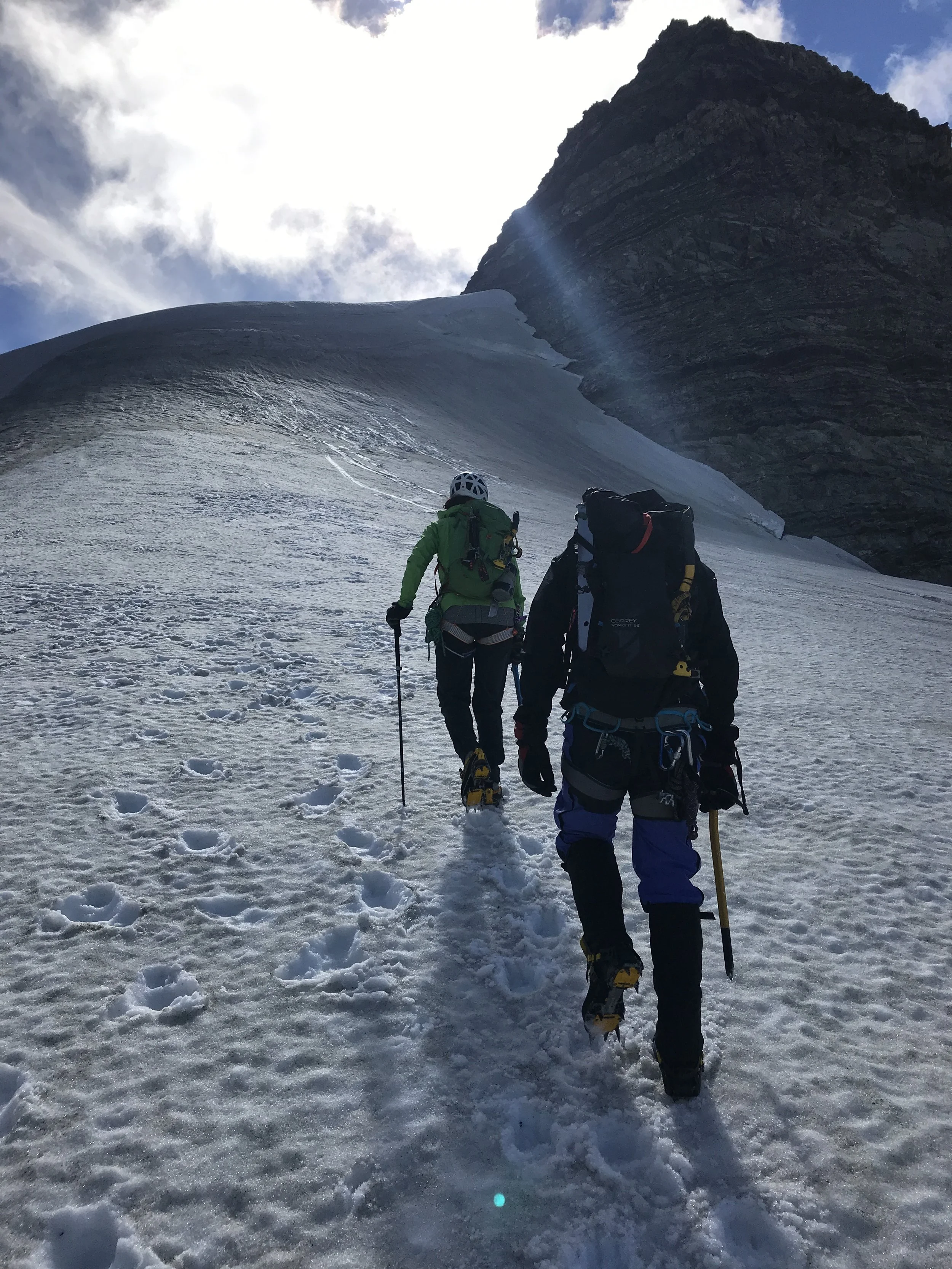
A typical section of the route (Brent in the background)
We pull at tree roots and hoist ourselves up steep rocks. After about six hours of serious uphill, I’m starting to wane from what Brent refers to as “not shoving food down my throat frequently enough”. But a warm and hot day has turned to darkening skies. We hear thunder in the distance, which gives me a jolt of energy to hurry up and get to the hut before the rain gets us. The only people we see along the way are three couples - one dad and his daughter and two younger couples, all leaving after a weekend at the hut. By the time we arrive at Edwards Hut and make ourselves comfortable, we are the only guests and the only people in a mountain-enclosed valley as the skies open and the thunderstorm is upon us.

Approaching Edwards Hut in Arthur's Pass just ahead of the storm

A loo with a view - the hut toilet
There is no better feeling than being ensconced in a dry hut in the middle of the wilderness while it’s raining outside. Brent and I spend the evening leafing through old issues of Wilderness Magazine and reading the comments in the hut log book, while drying our socks and clothing.
Later in the evening we were very grateful for the shelter of the DOC hut as the rain turned into a very violent thunderstorm, creating a minor flood outside the hut, and leaving us wondering about whether we would be able to continue our hike in the morning.

Spreading out in our "private" DOC hut - Brent cooking some yummy dehydrated food as our socks dry overhead

At the hut reading our magazines right before the thunderstorm strikes
The following morning, we assess the weather and decide it has cleared enough for us to continue. The forecast had warned us of the overnight thunderstorm, and hinted the next day would be fine, plus we figured that it would actually be more difficult to return the way we had come, given the swollen rivers, So we set out up the valley, and after an hour or two weaving our way through the tall tussock grass, our gaitered legs and boots are soaked. There’s absolutely nobody in sight. After scrambling up some rocks we reach the Taruahuna Pass and stop for a snack. Brent whips out the compass and a map, and we try to figure out how we can possibly get from this pass to the tarns that we know are somewhere up a steep slope to the east. Our route description tells us "From the rocky debris of Taruahuna Pass the route turns abruptly right and goes extremely steeply up to Tarn Col." All we see is an incredibly steep scree slope, it doesn't look passable. A bit more route-finding shows us another way. Thankfully, it’s not as bad as it looks - we can take a gully with some tussocks, but it’s still at least 45 degrees at times and as I stand up perpendicularly, I feel like I’m in a double-black chute. Only I’m not skiing down, I’m climbing up. At the top of the climb we encounter the first and only person we'll see on today's hike - a solitary guy eating lunch at the lip of the cliff.

In the morning, we start walking up this valley - we'll need to walk to the end of it (around the corner in the picture) before we start ascending to the pass

The trek up the valley saw us making our way through knee-high wet tussock grass

The requisite wringing of the socks on the trail

Mt Cook daisies on the trail
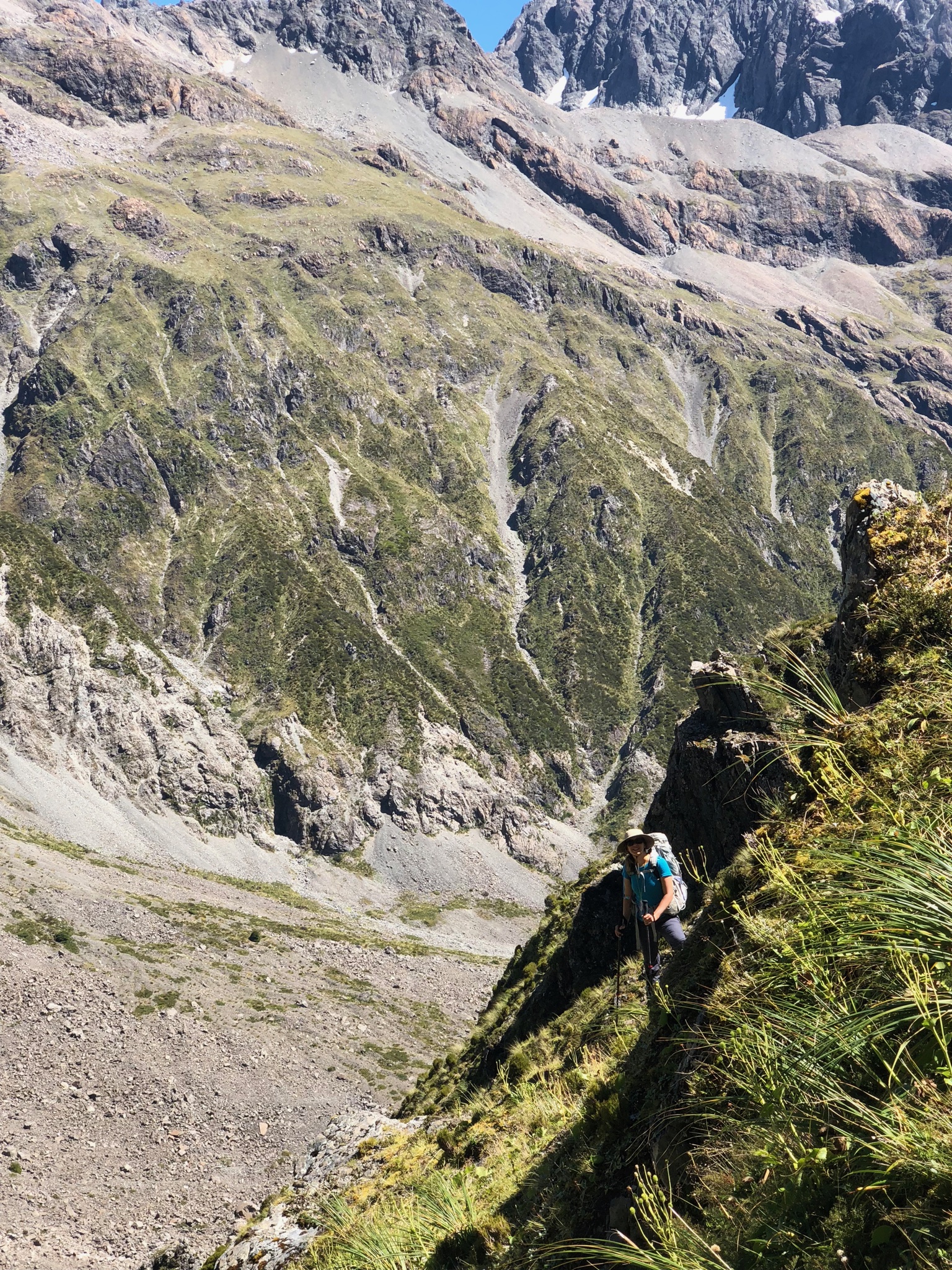
Lisa on the steep climb over to the pass - we're going straight up!
From this point on, we circle a set of beautiful tarns (small alpine lakes) then follow a stream down through a steep gully for a few hours, criss-crossing the stream multiple times, depending on which side has passable terrain. There’s barely a place to stand, let alone sit, but soon we find a slight outcropping with a few rocks where we can sit and eat lunch.

The view on the top of the climb - a tarn is visible in the distance

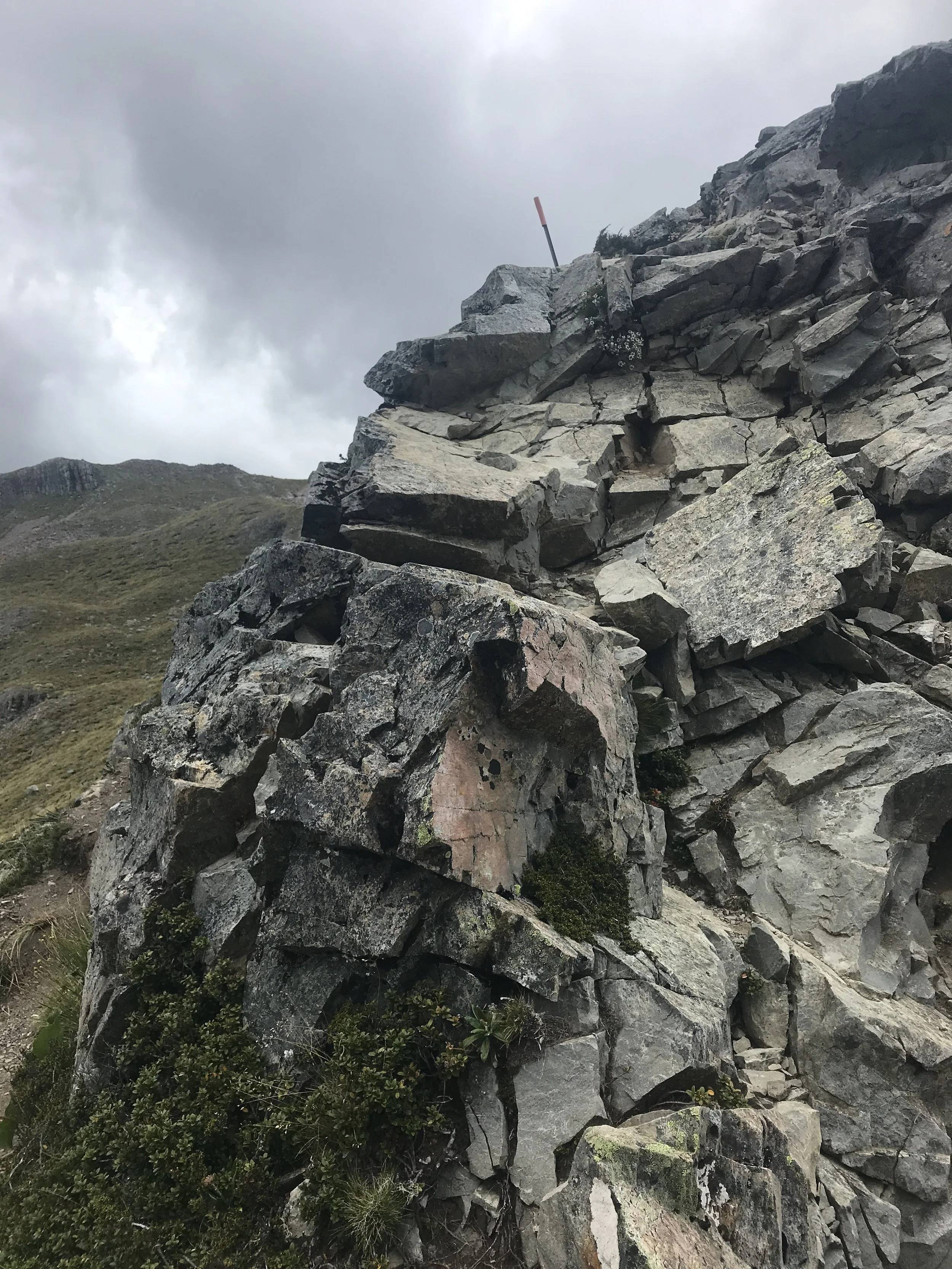
The pole is letting us know we're on route - thankfully coming down we avoided getting bluffed thanks to Brent's meticulous route-finding

Looking up towards the route we have just descended from on the rocks

We come across another beautiful tarn on the route

The tarn up close
By the time we arrive to Hawdon Hut, we’ve been going for over 7 hours, including our breaks. We’re back in sandfly territory as the river has grown wider and we’re back beneath the tree line. There’s just one other person in the 14 person bunk hut - it’s a young Chinese Australian woman who works as an outdoor guide in the Australian bush. Her soggy shoes and socks are hanging outside the hut, drying. They’ll be joined by our soaked shoes and socks, wet from a day of river crossings.
The third day sees us taking an easy 3 hour stroll down the valley and getting wet sooner as we have to wade through knee high water right from the beginning. As we hike out from the end of the road, we’re keeping an eye out for Christine’s blue car - Brent’s mom is again our trusty relief driver. She’ll overnight with us in an old house in Arthur’s Pass before we climb Avalanche Peak the following morning.

Descending into the luscious (ie. sandfly-friendly) river banks by Hawdon hut

At the bottom of our walk from Hawdon Hut
I’m quite proud of Brent’s planning and navigation skills. As we’ll see in our mountaineering course in the Southern Alps, he’s already doing all the requisite detailed checks of the weather forecast, he’s carrying detailed topographical maps, a compass and he’s downloading route reports and descriptions ahead of time. He’s also doing interval planning - figuring out different sections of the route and estimating the time required for each section based on that and on our speed in similar conditions. This keeps us on track in some dodgy parts of the route where one can easily go down the wrong gully, ridge or slope.
That meticulous planning comes in handy as we learn that there’s a strong storm with gale-force winds moving in over the Great Divide the following afternoon. Brent plans out the route to Avalanche peak. It’s 1,100 meters in elevation gain (3,600 feet) in just over 2.5 km (1.5 miles) of distance. It’s estimated to take 6-8 hours to go up and down it, so we plan for an early morning start to beat the weather.
The next day, at 5:30am, our trust head-torches on, we leave the farm house and walk the 10 minutes in the dark to the bottom of the trail. It’s a tough but exciting trail, if you can call it that - half of the time you feel you’re rock climbing, but using the roots of trees and vegetation instead of ropes. Halfway up, trees give way to grass and rock and as we ascend above the tree line, we can feel the wind starting to pickup. Shreds of low cloud are rolling in from the West Coast.

Starting the Avalanche Track trail bright and early


We're a third of the distance up when we see dawn breaking on the East

On the Avalanche Peak trail during sunrise

Brent leaning into the strong winds as weather moves in above the tree line on the Avalanche Peak trail

The view from the top of the Avalanche Peak trail - the trail is on the left - the large, jagged boulders are it :)
We are kept company by two cheeky Keas - alpine parrots who we’ve come to know from our prior trips to the Southern Alps, Franz Joseph Glacier and Fordland. The two birds are screeching and landing on rocks near us, in their customary “checking the tourists out” fashion. Anything glittery, bright and shiny, especially if it’s food or fruit, is a magnet for these bright, curious birds. They’ve been known to make away with different prizes from oblivious trampers - they also frequent the cafes at the Arthurs Pass Village, so much so that there are warning signs for “no refunds given for kea-stolen food”.

Enough said :)
The keas work in teams - sometimes one distracts the tourists by coming closer and posing for photos while one or two of his friends sneak from behind and nab whatever’s within reach. In our case, the keas quickly stop paying attention to us and instead busy themselves with flying up high beyond the peaks and then from a height of thousands of meters, dive-bombing like fighter jet pilots into the valley. Watching them reminded me of the Blue Angels aerial show in the Bay Area, but I thought the keas were more impressive - it’s a parrot for goodness sakes, but it surely behaves more like an eagle than a pet!
We are the first to reach the summit today. The view is stunning - high mountain glaciers, sharp peaks and endless valleys stretch before our gaze. But we can see that some clouds are starting to roll in from the West Coast. After a few minutes on the jagged peak, we climb down. On the exposed rock, the wind gusts are so sudden and strong that I have to brace myself against the rock ridge for fear of being blown off the cliff. We are relieved to reach the tree-line on our descent.
The last stretch of the climb towards the peak sees us climbing a steep jagged rock ridge in gusty winds

The view from the top of Avalanche Peak

Coming back from Avalanche Peak - Brent descending the jagged ridge

Lisa descending from Avalanche Peak as the weather moves in
We are starting to see others who are climbing up - a few individuals, followed by a few couples. Alarmingly, many have any idea about the weather coming in and that it’s supposed to be storming by the afternoon. This is a perfect example of how people get themselves in trouble in the New Zealand mountains. The weather here can turn so quickly and go from a warm sunny day to a freezing gale-force wind rain or snow storm in a matter of a few short hours. We’re down in the valley by late morning, well before any of the clouds start raining. But the wind is picking up and on our return we run across our Chinese Australian friend and a DOC ranger, who commends us for summiting early and says that they are expecting 80kmh and stronger winds that day.

Brent with a vista of Arthur's Pass - storm clouds are getting closer

Beautiful rugged Arthur's Pass as seen from the Avalanche Peak trail
As we are driving out, we see a lone hitch-hiker on the road. In a sign of how small New Zealand is, we recognize the guy who helped us buy our gaiters in Christchurch in the Torpedo 7 store. We pick him up - he’s super grateful as it’s starting to rain and he’s been waiting on the road for quite some time. James has done a hike to another remote hut - in a valley on the other side of Avalanche Peak. He’s quite a serious tramper - he’s done the Te Areaoa trail (a trail that goes through the length of New Zealand) on the North Island and that he and his girlfriend are currently gearing to do the PCT (Pacific Crest Trail) on the West Coast of the US starting in March. On our drive back to Christchurch, we exchange information and arrange to meet up in either California or Oregon in the spring / summer as James and his girlfriend walk their way up the West Coast of the US.